BISTAR

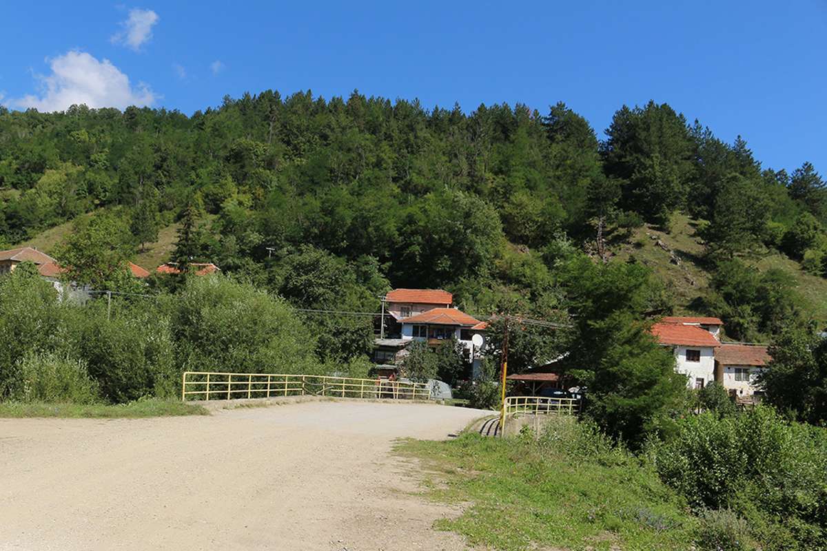
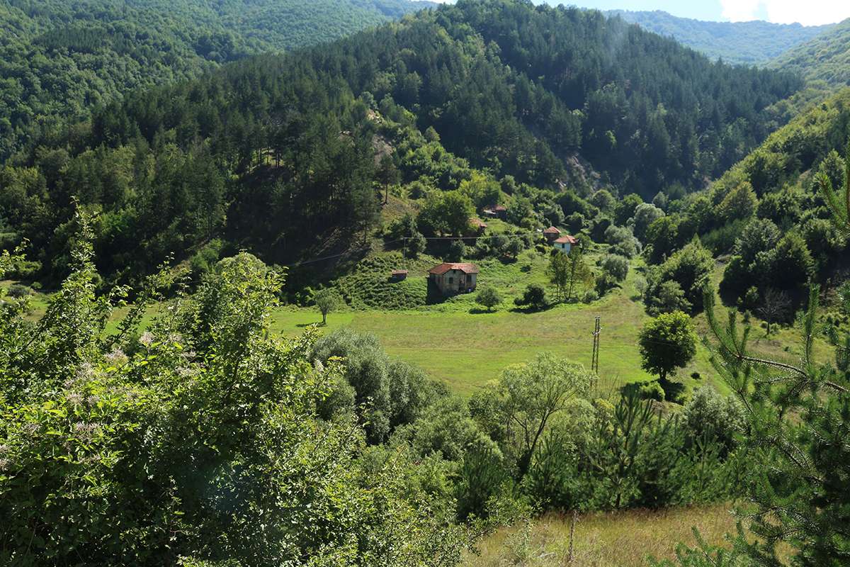
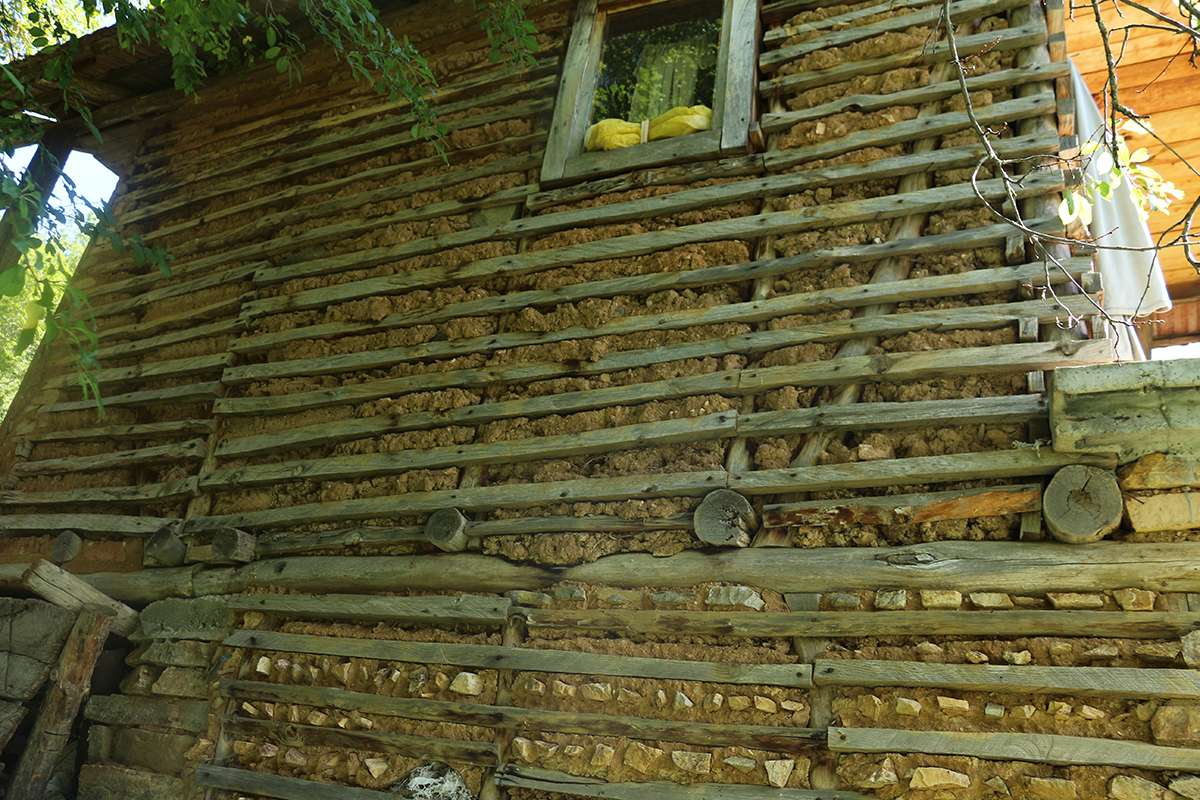
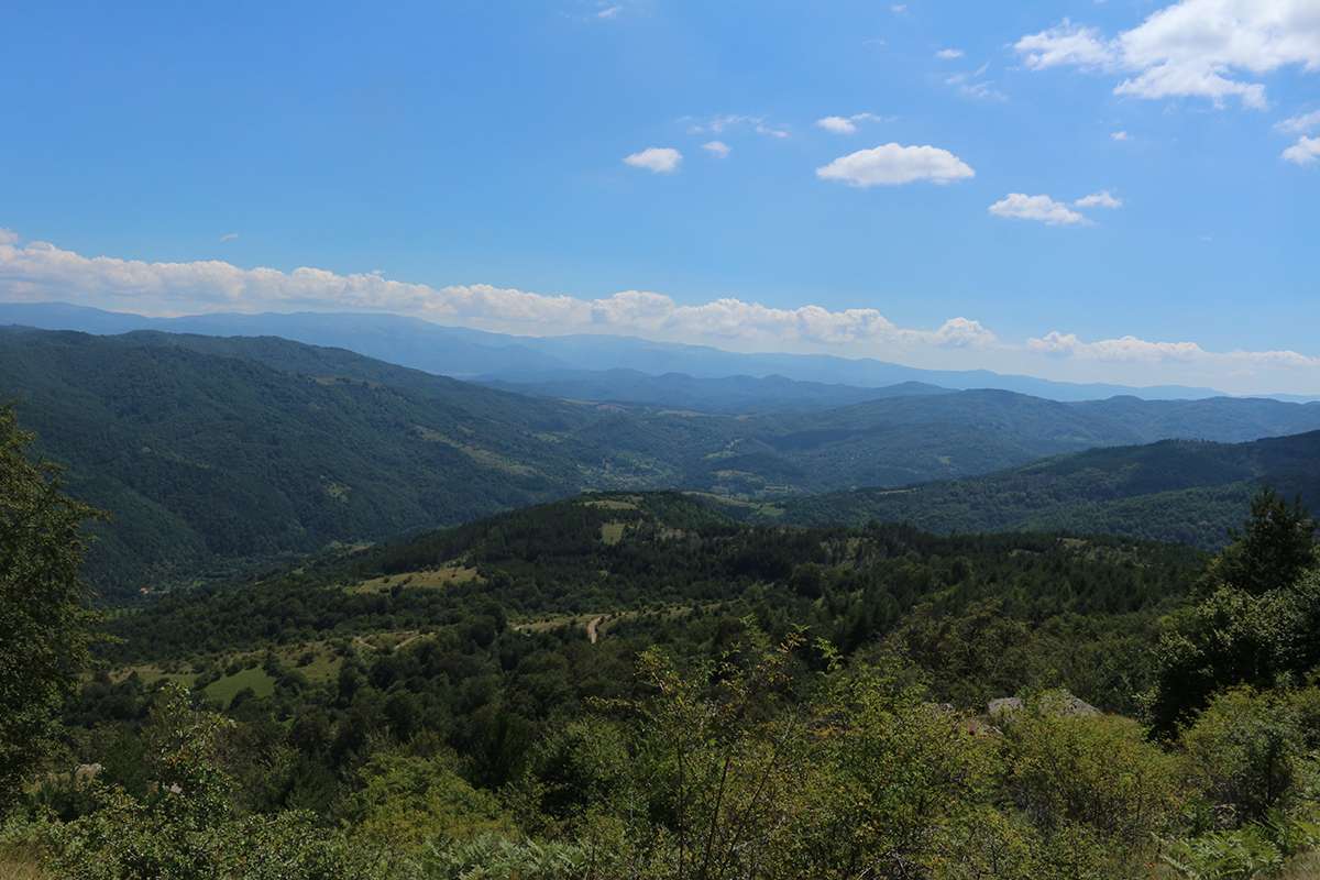
Bistar is a rural settlement in the municipality of Bosilegrad and is located in a valley, south of Bosilegrad, and the Brankovska (Tlaminska) river flows through the village, a right tributary of the river Dragovištica, named by the locals and Bistarska river, which flows from Bistra to Brankovci. Jarešnička river (Jarešnički potok). The altitude of this village is about 1,205 meters. This village borders with the villages: Rikačevo, Donje Tlamino, Jarešnik and Zli dol, and in one part it leans on the state border with the Republic of Bulgaria. The village is of a broken type, composed of eleven neighborhoods, spread on both sides of the Brankovska river. On the left bank are the neighborhoods of Rupe, Reka or Selo mahala, Tošini, Košarska mahala, Cepanica, Gradište, and on the right bank – Beli breg, Trnovci, Stojovci, Tanki rid. In the neighborhood of Selo, there is a temple “Holy Apostle Philip” built in 1872, next to which flows the river Jaresnica. Mahala Tanki rid stretches at the highest altitude of 1314 meters. In the past, its inhabitants were known for various crafts and handicrafts.